 Loading…
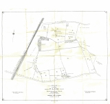
1888 OS map 1 of 2
 Loading…
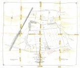
1888 OS map 2 of 2
 Loading…
1909 Huntingdonshire map with adverts (Sue Everest)
 Loading…
Bluntisham Parish Map (Sue Everest)
 Loading…
Parish Map 1902 (Richard Saltmarsh)
 Loading…
Parish Map 1927 (Richard Saltmarsh)
 Loading…
Parish Map 1928 (Richard Saltmarsh)
 Loading…
Flood Map 1947 (Martin Halton)
 Loading…
Parish Map 1970 (Sue Everest)
 Loading…
Parish map 1956 (Sue Everest)
 Loading…
Parish Map 1995 (Tracey Davidson)
 Loading…
Parish Map 2005 (Tracey Davidson)
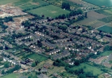
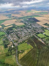
1998 Aerial View of Bluntisham, Peter Searle
June 1998, Bluntisham Village, Building of Laxton Grange & Sumerling Way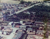
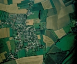
1976 Aerial view of Bluntisham , (Peter Searle)
The Hot Summer of 76, Colne Road (top), 'The Orchards' & East Street (centre), 1976